
Research
Research Projects
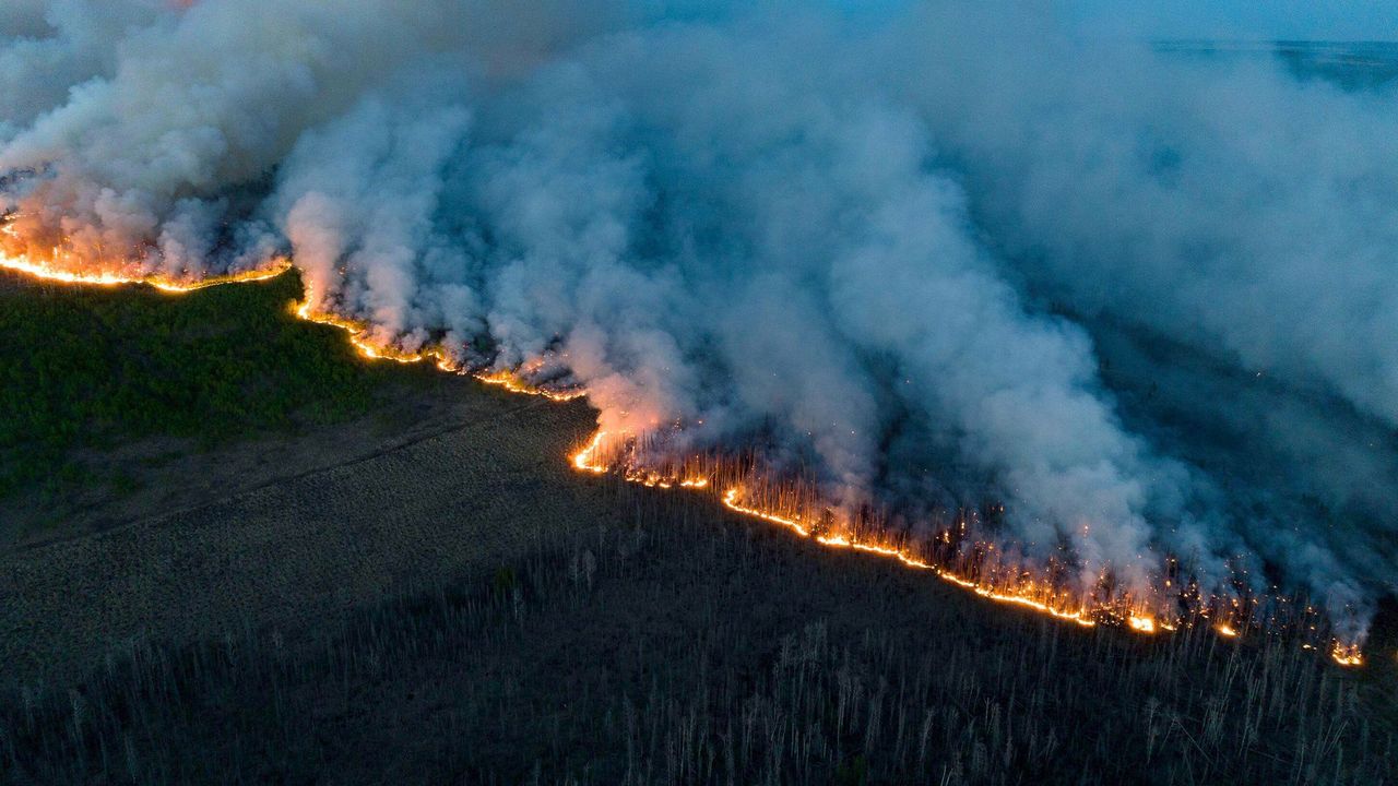
Forest Fires/Wildfires || GIScience & RS
Status: Done | Timeline: September 2023 - October 2024
The project supervised by Dr. Quazi Hassan (Professor, Geomatics Engineering, University of Calgary), focused on monitoring and managing active forest fires, including automatic fire clustering, perimeter delineation, and the generation of timely fire progression models using FIRMS ptovided satellite-based active fire data such as NRT/URT)/RT data in Canada, particularly in Alberta and the Northwest Territories.
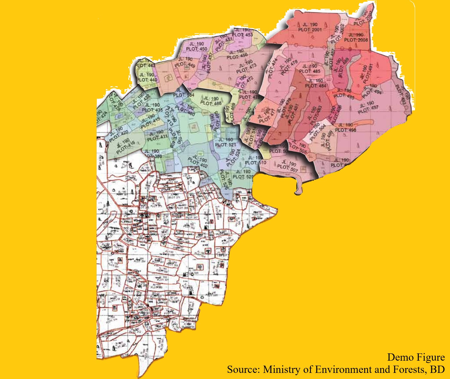
Cadastral Mapping || GIS-based
Status: Contract Finished | Timeline: September 2022 - November 2022
The project focused on cadastral mapping using GIS tools across all unions, districts, and divisions in Bangladesh to convert land data into a digital format.
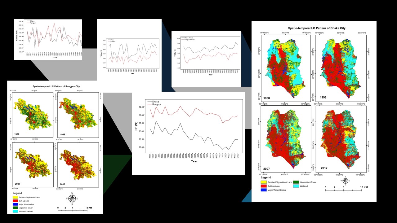
Change Detection (Land Cover & Climate) || GIScience & RS
Status: Done | Timeline: October 2018 - March 2019
The project, titled 'Investigation of Climate Scenario with Their Land Cover Condition of Two Major Cities in Bangladesh: A Spatio-Temporal Study,' was conducted under the Department of Geography and Environment at Jagannath University, Bangladesh. It examines the decadal spatio-temporal climate and morphological scenarios in Dhaka and Rangpur, utilizing hybrid classification for land use and land cover analysis. The study reveals temperature increases, declining rainfall trends, and land cover changes, offering critical insights for urbanization, sustainable development, and climate change adaptation policies.
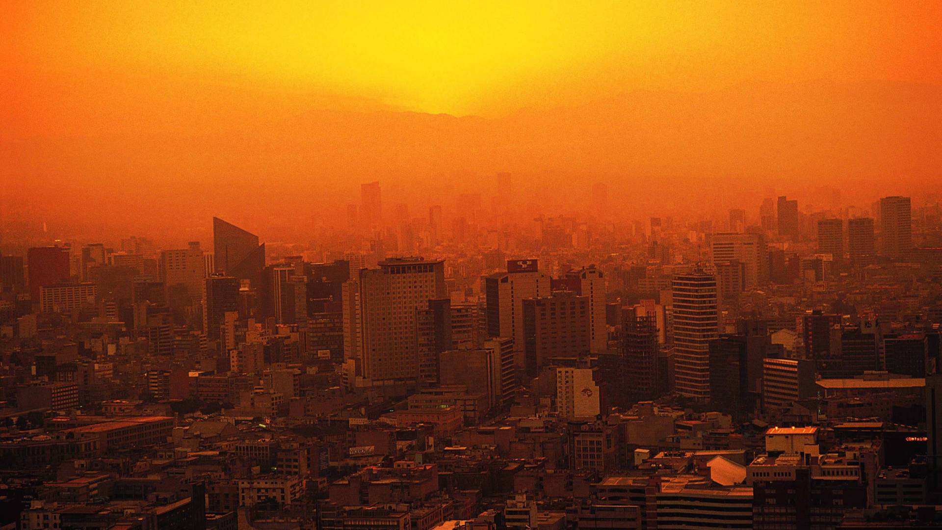
Urban Warming in Dhaka megacity || GIScience, RS, & Field-based
Status: Done | Timeline: June 2019 - February 2022
The project focused on assessing the urban heat island (UHI) effects and their impact on the outdoor environment. The project involved collecting and analyzing meteorological data related to UHI in the Dhaka megacity, Bangladesh.
Micro-climate || GIScience & RS
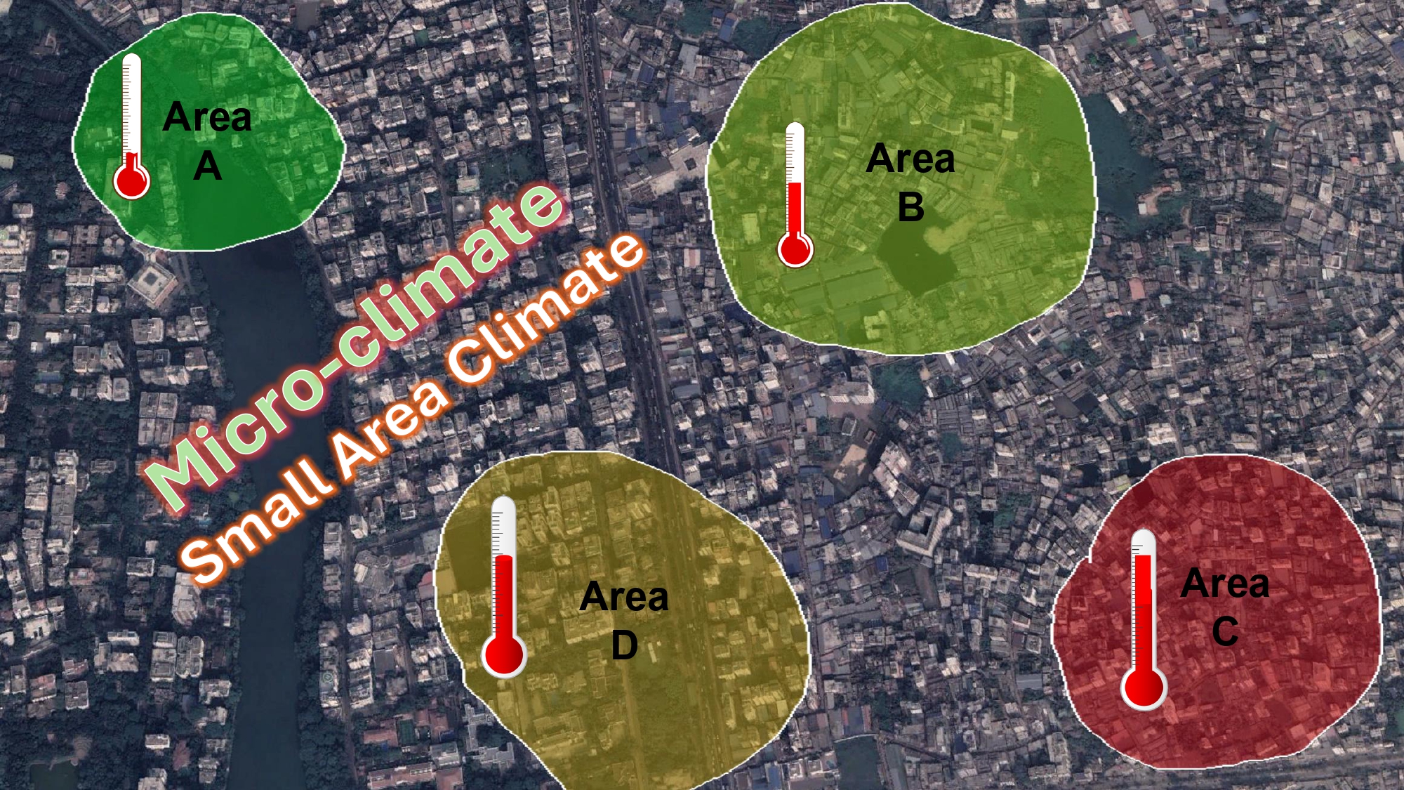
Status: Done | Timeline: June 2017 - November 2017
The undergraduate dissertation project, conducted by the Department of Geography and Environment at Jagannath University, Bangladesh, assessed microclimatic variations in four areas of Dhaka city using primary and secondary data. The study explored temperature, humidity, and wind speed differences, utilizing digital weather tools, ArcGIS, and Google Earth Pro.
Arsenic Contamination Mapping || GIS-based
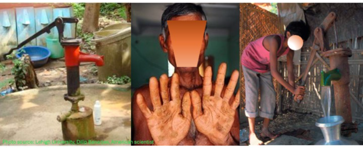
Status: Done | Timeline: December 2022 - June 2023
The project focused on monitoring and managing arsenic contamination in Bangladesh, including mapping (GIS-based) contamination from the union to district level. It was funded by the government and supported by international NGOs.
Renewable Energy || GIS & Field-based
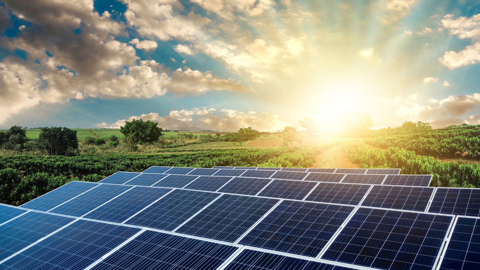
Status: Done | Timeline: December 2017 - June 2019
The studies assessed the environmental and economic impacts of solar PV systems in off-grid areas where electricity was not available.