Status: Done | Timeline: December 2022 - June 2023
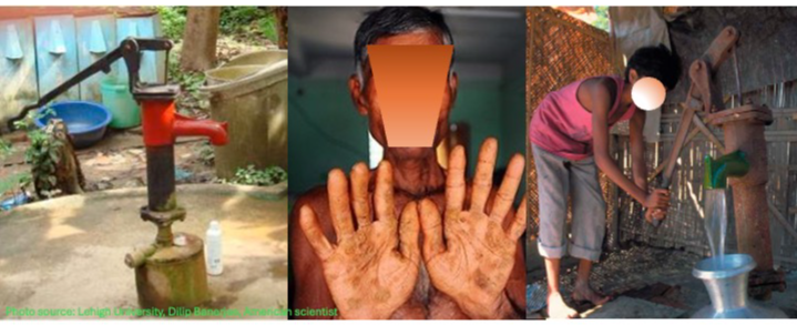
The project involved monitoring and testing tube wells for arsenic contamination across Bangladesh. Contaminated wells were marked red, while arsenic-free wells were marked green. Detailed information, including the GPS coordinates (latitude and longitude) of each well, was collected for comprehensive mapping (GIS-based). This initiative, conducted by Environment and Population Research Centre (EPRC), and funded by the government and international NGOs, provided a detailed overview of the arsenic contamination scenario across Bangladesh, from the union to district level.